With all of the incredible parks near Philadelphia, it’s hard to pick a favorite. But Lorimer Park in Huntingdon Valley is easily a top five for me.
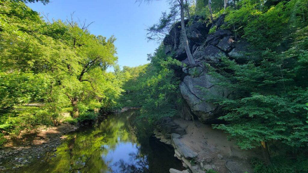
The 230-acre park features some beautiful sights, like the meandering Pennypack Creek and its tributary, views of the rolling fields of Fox Chase Farm, multiple footbridges (we all love those!), and interesting rock formations.
Not to mention, it’s the perfect spot to enjoy nature, whether you’re hiking or biking along the trails, or sitting next to the creek watching the geese swim around.
Notice: No AI is used to write these posts! I research and write these on my own, either from personal experience or from information I get from friends and family. Thank you for supporting REAL creators.
Disclosure: Some of the links below are affiliate links, meaning that, at no additional cost to you, we may receive a commission if you click through and make a purchase.
Lorimer Park History
In the early 1900s, George Lorimer accumulated 2000 acres of farmland in Huntingdon Valley, calling the land “King’s Oak”.
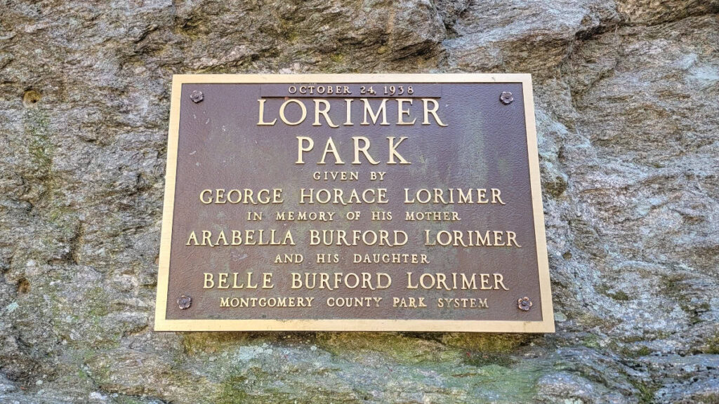
He eventually sold most of the land, but he deeded the 230-acre park to Montgomery County.
He wanted the park to be open to the public so they could observe and study the native plants and animals. Because of this, the park can never be commercialized and will be kept in its natural state.
What to Know Before You Visit Lorimer Park
Location
Lorimer Park is located at 183 Moredon Road in Huntingdon Valley.
Park Hours
Lorimer Park is open daily from sunrise to sunset.
Parking
The main parking lot for Lorimer Park is on Moredon Road.
However, you can also park along Robbins Avenue next to Rockledge Borough Park, at the trail lots at 800 Welsh Road (Rt. 63) in Bethayres, and at 1750 Byberry Road next to the Mason’s Mill Business Park.
Handicapped parking is available on the northeast side of the park, near the ranger station.

Amenities
Bathrooms, pavilions, and picnic tables are located on the northeast end of the park, near the ranger station.
Pets
Leashed dogs and horses are allowed on the trails at Lorimer Park
What Can You Do at Lorimer Park?
Picnicking
Meet friends for lunch or plan a romantic dinner along the Pennypack Creek at Lorimer Park. The park has a small, shaded picnic area with tables and grills, modern restrooms, and a large activity field next to it.
Fishing
Pennypack Creek is stocked with trout by the PA Fish & Boat Commission four times a year.

You are allowed to fish during normal park hours as long as you are following the PAFBC licensing rules and regulations.
As the creek waters warm up, you might find yourself snagging panfish, catfish, carp, and the occasional bass.
Multi-Use Trails
There are over 8 miles of trails within Lorimer Park’s boundary.
Just over 5 miles of that is the Pennypack Trail, which is a flat and wide trail made of crushed gravel (it used to be the Fox Chase-Newtown rail line).

Other trails are more typical hiking trails, that wind through the park, past Fox Chase Farm, and along a tributary of the Pennypack.
All of the trails are mixed-use, so you might run into hikers, horseback riders, or mountain bikers.
Winter Activities
Lorimer Park is the perfect place to enjoy the winter weather! The trails and hills make it the perfect spot for cross-country skiing and sledding.
Notable Attractions at Lorimer Park
When exploring the park, you don’t want to miss these interesting spots.
Fox Chase Farm

Although it’s not in Lorimer Park, Fox Chase Farm shares a boundary with the park, giving visitors an opportunity to see some of the animals out in their pastures. Keep an eye out for the cows!
Knight’s Bridge

I consider this the smallest covered bridge in Pennsylvania (a made-up fact, but it feels like it could be true!). Timothy Egger and Troop 72 of Abington reconstructed Knight’s Bridge as an Eagle Scout project.
Council Rock

Council Rock is a large outcropping that sits just above the Pennypack Creek. During the summer, the view is blocked by the leaves on the trees.
But in late fall and early spring, you can see out towards the picnic areas. Be aware that the trail to Council Rock is short but steep.
Read It Now. Pin It For Later!